
Montgomery County Block Sources
The records around a block answer different, limited questions. An interactive tax map shows the subject parcel and the shapes of adjoining lots. Property Records gives address- or parcel-based context for one property. Recorder documents can name a party to a transfer, but a recorded party is not a complete household list. Pennsylvania's voter-list system has its own request rules. Historic community sources add place context, not a current resident roster. Use the layer that matches the question and preserve the difference between owner, registrant, and occupant.
| Block source | What it shows near an address | Access route |
|---|---|---|
| Interactive tax map | Subject parcel and adjacent parcel geometry | Free county map viewer; reference map, not a legal survey |
| Tax_Parcels and Parcel_Boundary layers | TAXPIN, alternate ID, parcel type, acreage, and boundary shapes | County GIS and open-data layers |
| Property Records | Individual address or parcel property context | County address or parcel search |
| Recorder documents | Recorded parties and transfer trail for a particular parcel | Account search, paid remote images, counter, or mail copy |
| Voter Street or Walking List | Defined registered-elector fields at street level | Qualified statutory request with ID, affirmation, and fee |
| HSMC community files | Historic place, church, school, society, and local-publication leads | On-site or remote research service |
Property ownership and daily residence are not the same claim. A mailing address can differ from the situs address, which is the physical location of the land. A parcel map does not establish personal relationships across a fence line, and neither a directory nor a voter record proves every member of a household.
Map Montgomery County Parcels
County sources document map browsing and parcel-boundary inspection. They do not describe a "neighbors" button, a radius tool, or a countywide neighbor directory. Start from the known address, record the parcel ID, and inspect the parcels that touch or immediately surround it. The county's interactive tax map is useful for spatial relationships, but it is not a legal boundary determination. Treat each nearby parcel as a separate record-research task.
- Enter the subject address in Montgomery County Property Records, or use its parcel or map option if the address does not resolve. Save the municipality, address form, and TAXPIN.
- Open the interactive tax map and locate the same parcel. Use its visual boundaries to identify the lots touching or directly surrounding the subject parcel.
- Open each nearby address or parcel as its own property record. Keep each TAXPIN and parcel type separate rather than treating the map view as one combined household result.
- When a recorded transfer matters, use the parcel or address in the Recorder Public Access System, then compare party name, recording date, legal description, and document reference.
- For an entire named street rather than the immediate block, move to the Montgomery County by-street directory and follow its address chain one parcel at a time.
The official Parcel_Boundary GIS layer provides the adjoining-lot context used in this block method.
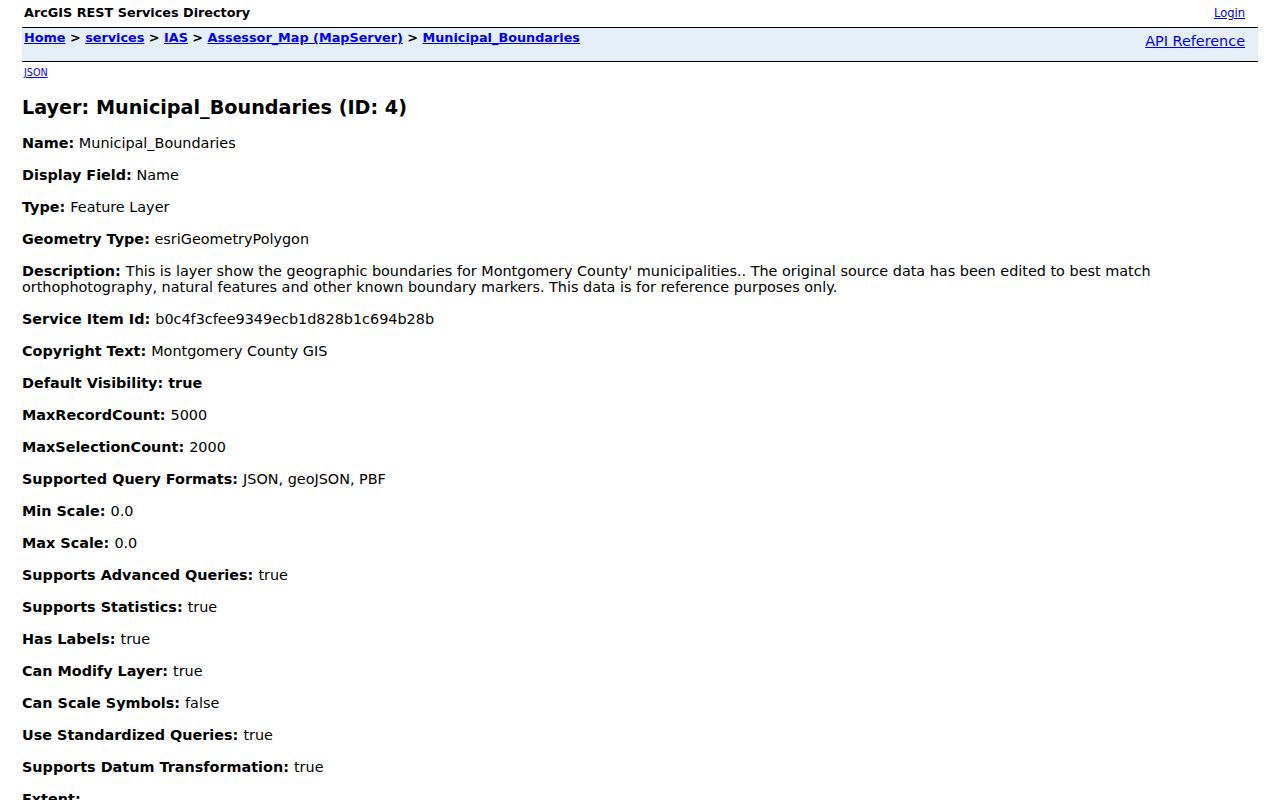
The boundary view supports a visual check of lot geometry. It does not prove a survey line, establish who lives inside a home, or turn a nearby parcel owner into a current neighbor. For those separate questions, use the appropriate custodian and compare dates.
Montgomery County Parcel Fields
The GIS service makes its parcel fields clear enough to explain what the map is actually showing. Tax_Parcels data includes TAXPIN, Alternate ID, Parcel Type, calculated acreage, true calculated acres, geometry, object ID, and edit metadata. A tested feature showed a BASE PARCEL type. These are land-record attributes. They help keep one lot distinct from the next, but they are not a list of all people connected to either address.
- TAXPIN
- The county parcel identifier used to tie a map feature to the property-record and recorded-document trail.
- Parcel boundary
- The GIS shape that helps show a lot's mapped relationship to nearby lots. It is not a substitute for a legal survey.
- Situs address
- The physical land location. It may differ from the mailing address used for tax correspondence.
- Legal description
- The deed's lot, block, subdivision, plan, or other land description. It can remain more stable than a changing postal form.
Use the identifier when records disagree on a postal name, township, or street form. The Recorder specifically recommends parcel ID over a name or address for FraudSleuth profiles because the identifier is more precise. That same discipline gives a block lookup a repeatable trail without guessing at a household.
Montgomery County Voter Lists
Pennsylvania's voter-status page is for an individual elector to check registration and polling information. It is not a public browse-by-street tool. The separate public-information, Street List, Walking List, and full export have defined fields and statutory limits. The Street List can include name, residential address, mailing address, party, and active or inactive status. The Walking List is the Street List without the mailing address. Neither list shows ballot choices, and neither establishes every person who lives on a block.
The official Montgomery County Voter Services page identifies the office responsible for local election and registration process questions.
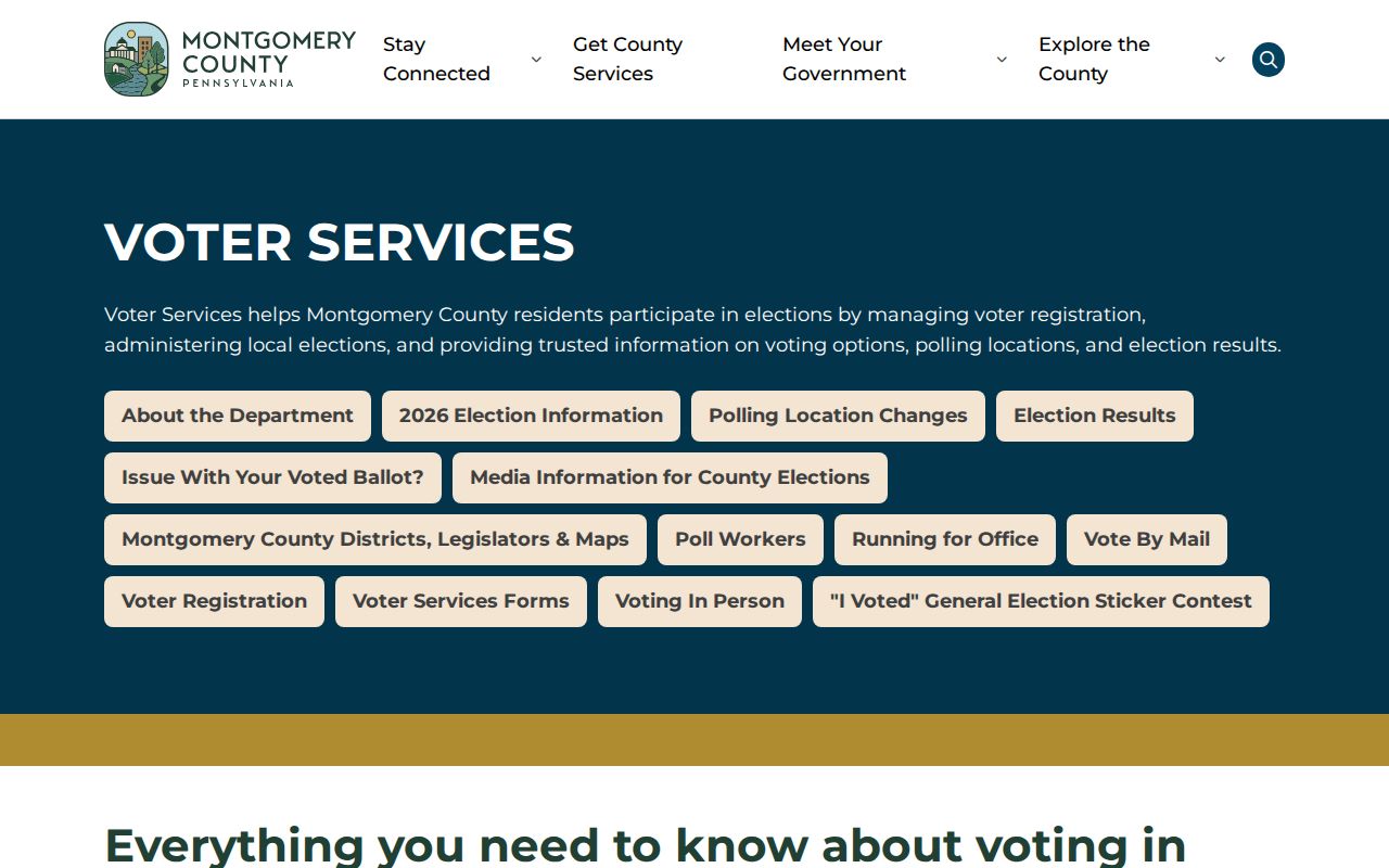
The published request path requires identification and a written request. County instructions say requests are generally answered within ten calendar days after receipt, with mail and email channels through Voter Services. The governing rules are 25 Pa.C.S. §§1403-1404 and 4 Pa. Code §§183.13-183.14. Use that process only for its stated statutory purpose and do not turn a voter record into a general block profile.
Note: The voter-status form and a statutory Street List are separate products, so a personal status check does not replace the written-list request.
Montgomery County Civic Sources
No authoritative countywide neighborhood-association directory was located. That result reflects Montgomery County's municipal structure, not a missing central roster. After the GIS map identifies the borough or township, check that municipality's public meeting notices, civic information, and records channels. Then use the Historical Society of Montgomery County for historic place and community context. Do not state that a private association publishes all members, and do not treat an old civic reference as proof of current neighbors.
| Local civic source | Best use after parcel mapping |
|---|---|
| Municipality's official public-information and meeting pages | Identify current public civic contacts, meeting notices, local permits, or the right local records office for the mapped borough or township. |
| Historical Society of Montgomery County collection index | Research historic borough, township, school, church, cemetery, society, map, newspaper, and community references. |
| County municipal-boundary and parcel map | Confirm which local government applies before seeking municipality-specific civic material. |
| County Archives or HSMC research service | Follow a historical community lead through microfilm, place files, newspapers, or local collections. |
This municipality-first method is the appropriate community layer for Montgomery County. It avoids inventing a universal association roster while still offering a real route from a mapped parcel to the civic sources that may be public for that particular place.
Montgomery County Community Files
The Historical Society of Montgomery County holds a research collection that is unusually useful once a block has an older place name. Its index identifies people and community files, maps, churches and cemeteries, schools, societies and lodges, newspapers, military material by surname, and municipal place drawers. Named locations include Ambler, Bridgeport, Conshohocken, Jenkintown, Lansdale, Narberth, Norristown, North Wales, Pottstown-area communities, and many townships. These are research leads for a historic block, not a promise of a current household list.
A historic address can also be checked against directories, a newspaper notice, cemetery material, or a probate record when the date supports it. Pair each historical clue with a primary record when possible. The county's broad geography means a directory's postal place name may differ from the municipality on a modern parcel map, so preserve the printed name, parcel ID, and legal description before deciding two locations are the same.
Official Montgomery County Block Records
Official county and state sources identify the custodian, field scope, access channel, and rule that apply to a result. Commercial neighbor-lookup products are an unverified category that may combine public, historic, and other data. They can be stale or mismatched and do not replace a parcel, deed, court, or voter custodian. A result should be checked against the official source that created the record.
| Official custodian record | Commercial neighbor category |
|---|---|
| Shows defined parcel, recorded-document, or statutory voter fields with stated access limits. | May combine material from different times and sources without the original custodian's context. |
| Can be checked at the portal, counter, mail channel, or responsible office. | May charge for an unverified compilation and cannot supply a custodian-certified copy. |
| Has stated privacy boundaries for protected addresses and restricted records. | Does not override Pennsylvania privacy, voter, court, or vital-record rules. |
Comparison: the reliable block trail is address to parcel, parcel to recorded document if needed, then a municipality-specific civic or historical source for context. It is slower than a broad compiled result, but each claim stays tied to the correct record and date.
Montgomery County Parcel-ID Tip
Insider tip: save the TAXPIN before moving from the map to other records. The Recorder recommends parcel ID for a FraudSleuth profile because names and street addresses can be common or formatted differently. On a county with many postal communities and municipalities, that identifier is also a better way to keep adjacent parcels apart when a map, property result, and deed use slightly different address forms.
A parcel ID does not identify every neighbor. It provides a precise land-record reference, which is exactly why it is more useful than a loose name match. Keep the current and historic address forms beside the identifier when researching an older document.
Privacy on Montgomery County Blocks
Public records do not expose a complete block profile. Renters, children, guests, utility customers, delivery recipients, and people without a recorded-document role may not appear in parcel records. Pennsylvania's Address Confidentiality Program can provide an alternate mailing address for eligible survivors of domestic violence, sexual assault, stalking, human trafficking, or child abduction. Court, vital, and voter rules also have separate restrictions. Do not seek to bypass a protected address through another source.
Lawful use. Montgomery County neighbor research can support getting to know a block, family history, civic curiosity, property questions, and personal safety awareness. Using records to stalk, harass, intimidate, or harm anyone can violate Pennsylvania law.
For a possible data error, contact the custodian that owns the entry. Assessment handles property-data questions, the Recorder handles recording questions, Voter Services handles election-record procedure, and the court clerk handles case access. The lawful answer to a protected or missing result is not to infer the fact.