
Montgomery County Street Walkthrough
Use one address as the starting point for a Montgomery County street directory trail. The free Montgomery County assessment application is address and parcel based, so it is the right first stop when the street is known. Save the displayed street form, municipality, and parcel identifiers. Those details keep a later deed or map result tied to the same land rather than to a similarly named street in a different borough or township.
- Search the known address in Board of Assessment Appeals Property Records. If needed, use its parcel or map route, then record the TAXPIN or alternate identifier.
- Inspect the same property in the county interactive tax map. Read surrounding parcel geometry as map context, not as a survey.
- Take the address or parcel ID to the Recorder's Public Access System, locate the current acquisition deed, and note its recorded grantee and legal-description reference.
- For a qualifying voter-record project, use the formal Pennsylvania Street List request route instead of expecting a public browse tool.
- For an older household snapshot, compare a dated telephone or address directory with the parcel and deed trail.
The result is a chain of narrow facts: parcel identity, recorded parties, map position, a permitted voter-list entry, or a dated directory listing. A Montgomery County street directory is strongest when those facts agree on the address and time period.
Montgomery County Street Address Search
Myth. The assessment site is not an owner-name directory. Montgomery County removed its owner search on June 17, 2022, and the published paths are Search by Address, Search by Parcel, Advanced Search, Map Search, and Sales Search. That limit matters: start with an address already in hand, then let the parcel record guide the next search. A name-first question belongs with a different lawful record channel, not an attempted workaround in the assessor application.
| Address or GIS field | How it is used | Published limit or format |
|---|---|---|
| Search by Address | Opens a known-location property search | Detailed fields sit behind the access notice |
| Search by Parcel | Uses the county parcel ID | One search path, not a name search |
| Advanced Search | Published optional interface mode | Exact selectors were not exposed publicly |
| Map Search | Visual entry point to a parcel | Map context does not establish a boundary on the ground |
| Sales Search | Published property-sales mode | Exact detailed fields were not verified |
| TAXPIN | County parcel identifier on a Tax_Parcels feature | Use as supplied by the county tools |
| Alternate ID | Additional parcel identifier | May be present in the county layer |
| Parcel Type | Describes the mapped parcel category | Sample feature showed BASE PARCEL |
| Calculated Acreage / True Calculated Acres | Map-data acreage fields | Not a legal boundary survey |
| Parcel_Boundary | Shows surrounding parcel geometry | Map context, not a personal or legal relationship |
The assessor address-search screen shows the access point used for this first step.
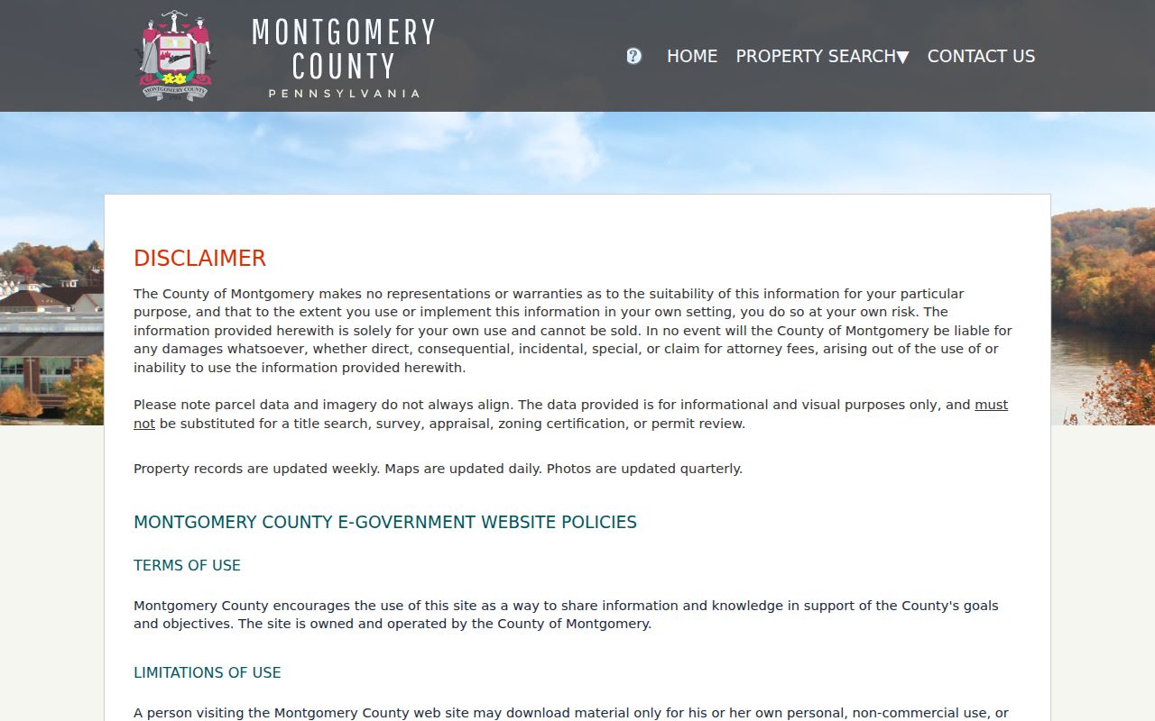
Use the address screen to anchor a Montgomery County property trail before moving to the map or deed index.
Note: The county gates detailed fields behind an Agree or Disagree notice, so unsupported field labels should not be assumed.
Montgomery County Street Parcel Records
The Montgomery County Tax_Parcels service supplies the identifiers that make a by-street search more precise. Its published attributes include TAXPIN, Alternate ID, Parcel Type, Calculated Acreage, True Calculated Acres, geometry, object ID, and edit metadata. These are parcel and map fields, not a list of people. They are useful because the same parcel identifier can be carried from a street address to the recorder and can distinguish two properties with similar postal descriptions.
- Parcel or TAXPIN
- The county identifier for a land parcel. Record it exactly when moving between the assessment tool, tax map, and Recorder.
- Situs address
- The physical location of the land. It can differ from the address used to receive correspondence.
- Plat or plan
- A recorded drawing or plan reference that can describe lots and subdivisions. It is not a statement of current household membership.
- Criss-cross directory
- An address-oriented directory type that can provide a historical listed-name lead for a particular street location.
The county Tax_Parcels layer publishes the core attributes behind parcel research.
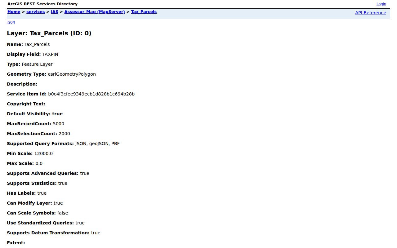
Parcel type and acreage help identify the mapped land, while the TAXPIN is the more durable bridge to other county records.
The Board of Assessment's property-data request page explains its parcel downloads and custom-report channel.
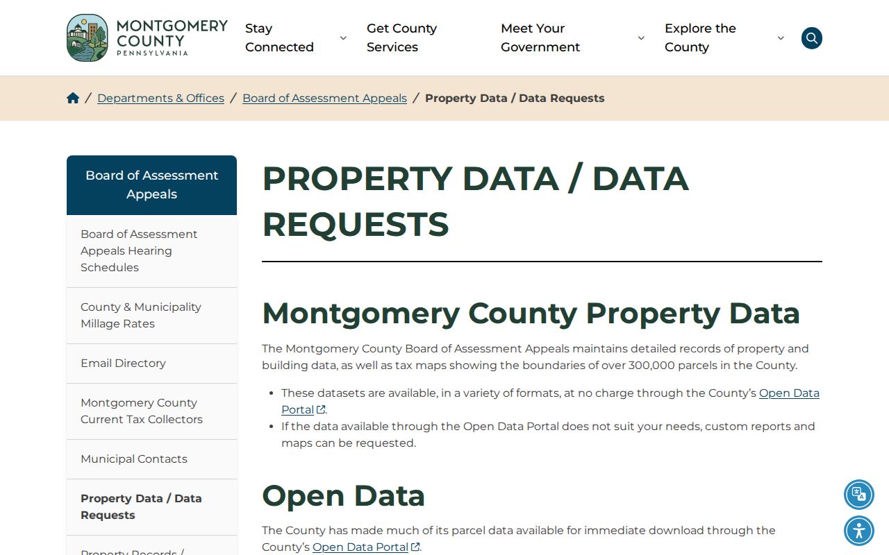
Open-data downloads are available at no charge, while the Board provides a quote before completing custom data or map work.
Montgomery County Street Tax Map
The Montgomery County interactive tax map lets a street directory researcher place one parcel beside the parcels that touch it or sit along the same segment. The Parcel_Boundary layer provides the adjoining geometry; the tax parcel layer provides parcel context. This is useful when a street changes municipal or postal description, or when the next deed needs a parcel reference rather than only a street name.
Montgomery County is clear about the limit: the interactive map helps a user understand spatial relationships, but only a licensed survey determines boundaries on the ground. Treat the map as a way to select the next parcel for individual research. It cannot prove a personal relationship between people associated with adjacent recorded documents.
County GIS Data is the official access point for its GIS and open-data resources.
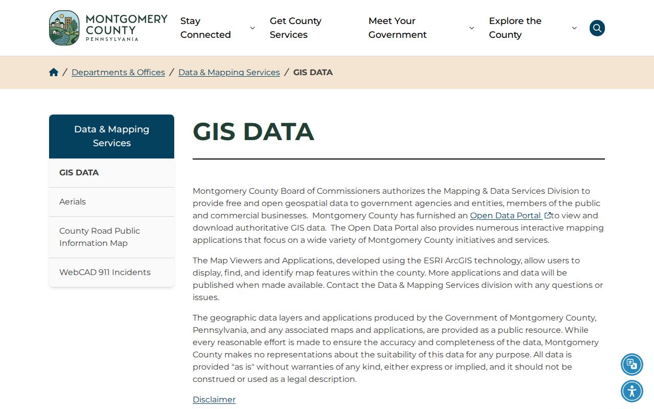
Use the GIS resource to find Montgomery County parcel and boundary context, then return to the individual property record for address-specific facts.
Montgomery County Street Recorder Trail
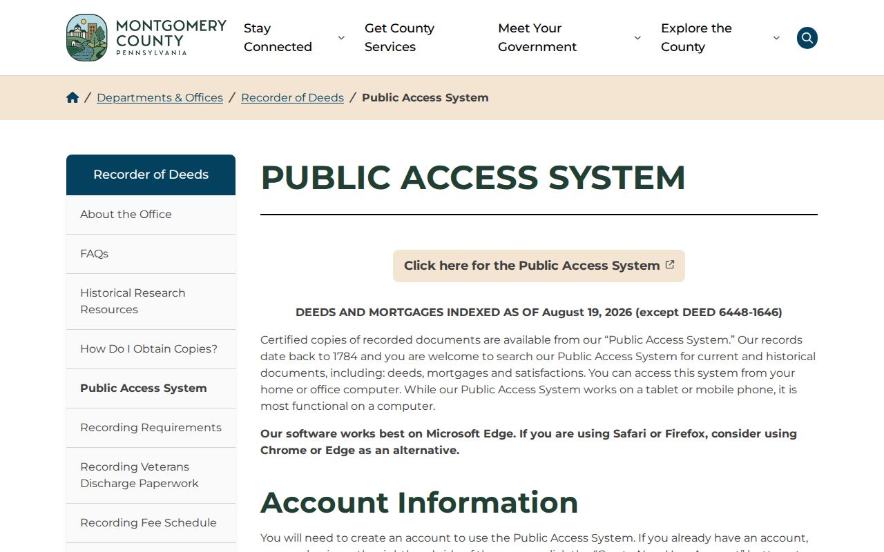
The Recorder of Deeds Public Access System takes the parcel or address trail into recorded land documents. A free account is required before Search Public Records, and the county publishes name, address, and parcel-ID search modes. A located document can point to a grantor, grantee, recording date, document location, legal description, and related parcel references. Recorded parties are not a complete list of people at the address.
Deeds and mortgages were indexed as of May 8, 2026, while the Recorder says its records begin September 10, 1784. Free account access does not make remote images free. The county documents a calendar-day subscription, monthly subscription, counter computers, mail copies, and e-certified copies, so a stalled online image search has several official alternatives. The Recorder can provide general information by phone, but staff do not conduct a search for the requester.
Recorded material can also include mortgages, satisfactions, plans, powers of attorney, notary commissions, and other filed documents. Military discharges are an exception to ordinary public access. For each result, note the document type before treating it as a transfer. A satisfaction may close a mortgage, for example, but it does not by itself identify a new owner. The document date and legal-description reference are more useful for a street trail than a broad name match.
The Recorder public-access page explains the account and document-access route.
Once a Montgomery County document is identified, select the counter, mail, subscription, or e-certified channel that matches the copy needed.
Note: A legal description or plan reference often persists when a postal city or street form changes.
Montgomery County Street Lists
A Montgomery County voter street list is a requested record, not a public street-by-street browser. Pennsylvania's official request form describes a Street List with a name, residential address, mailing address, party, and active or inactive status, subject to the statutory affirmation. The statewide registration-status service is for an individual's status and polling information, not a public address roster.
Montgomery County Voter Services directs written requests to its published mail or email channel and says they generally receive a response within ten calendar days after receipt. The county instructions require government-issued identification that confirms registration. State law also excludes the electronic signature and SURE registration number from a public-information list. A request should follow the current form and its allowed uses rather than treating voter data as a general street directory.
Montgomery County Street Geography
Street records in Montgomery County need a borough or township qualifier. The county includes 62 municipalities, and a directory, deed, tax record, or postal address may use Norristown, Pottstown, Lansdale, a Main Line postal name, or a township name. A local permit or code file belongs with the municipality identified on the county map, not with a fictional countywide permits archive.
Montgomery County postal routing, municipal boundaries, and parcel identity are three different systems. Keep the printed street form, postal city, municipality, TAXPIN, and legal description together. That approach is safer than guessing at a countywide street grid or renumbering project, because the research found no authoritative countywide renumbering date or universal numbering origin.
Montgomery County Street Plan Tip
Insider tip. A plan-book query can fail because the Recorder uses a specific format. Plan book numbers use three digits, and a hyphen becomes a zero, so an A-4 reference becomes A004. Landside books begin with L, condominium plans with T, highway plans with H, and plan-case books use a PC01-style number. Search the exact printed reference before deciding that a plan is absent.
The Recorder also publishes actual gaps: deed books 1325, 1326, 1377 through 1381, and 1540 through 1544; mortgage books 1572 through 1580, 3340, and 3454; and plan books 16 through 21. If a backward street directory trail reaches one of those gaps, compare adjacent deeds, grantor and grantee indexing, a legal description, an estate record, and the Recorder counter. A missing listed book does not establish that no transfer occurred.
Montgomery County Street Records
Different Montgomery County records answer different address questions. Start with the property record and map because they identify land. Use the Recorder for recorded transfer history. Use a formal voter request only for its defined election record, and use municipal offices for local permit or code files. Historic telephone and address directories can add a dated listing, but they should not replace parcel or deed evidence.
| Address record | Custodian | Street-level use | Official access |
|---|---|---|---|
| Assessment property record | Board of Assessment Appeals | Parcel and property context for a known address | Free address or parcel application, map, open-data download, or custom request |
| Tax parcel and boundary layers | County GIS and Assessment | TAXPIN, geometry, acreage, and adjacent parcel context | Interactive tax map, GIS service, or open data |
| Recorded documents | Recorder of Deeds | Recorded parties, dates, and legal-description trail | Account search, subscription image, counter, mail, or e-certified copy |
| Street List | State and County Voter Services | Defined registered-elector fields where law permits | Formal request with identification, affirmation, and fee |
| Permit or code file | Relevant borough or township | Local dated action tied to an address | Municipal office or the applicable RTKL channel |
| Historic directory | HSMC or Library of Congress | Dated subscriber or address snapshot | On-site, research service, or identified digitized collection |
For a prior household rather than a current street trail, the dated collections on the Montgomery County city directories page provide the historical shelf without confusing a printed listing with current presence.
Montgomery County Street Limits
A Montgomery County street directory can identify a parcel, a recorded party, a dated filing, or a permitted voter-list entry. It cannot establish everyone connected with an address. Utility, delivery, motor-vehicle, and protected-address information are not substitute sources for building a street roster. The federal Driver's Privacy Protection Act limits motor-vehicle personal information, and Pennsylvania's Address Confidentiality Program may lawfully substitute an address in public-facing systems.
When the goal narrows to one address's earlier occupants, use the documented deed-chain and archive route on the Montgomery County past residents page rather than inferring a household from one current record.